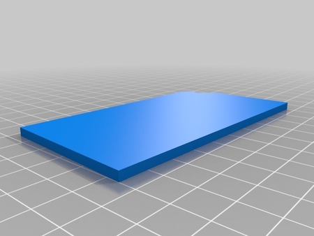
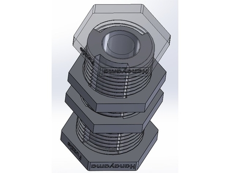
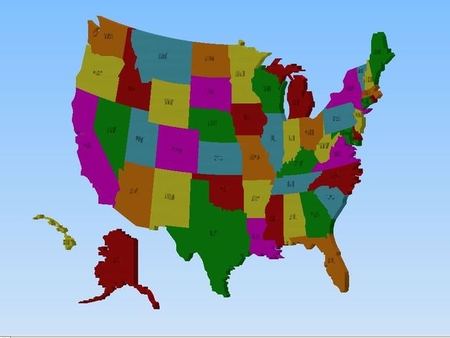
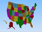
3d united states printable map 3D for print
1519 Views 0 Likes 0 Downloads Download
QIDI Tech
Rafts:
Doesn't Matter
Supports:
No
Resolution:
.3
How I Designed This
Inspiration:
This project was inspired by m...y children's needs and ambitions for learning the United States.
Standards
NGSSCCSS
Overview and Background
Overview & Background:
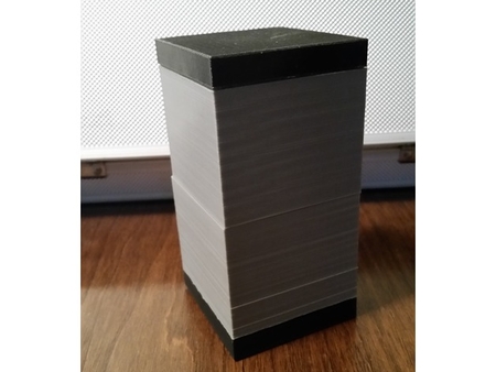
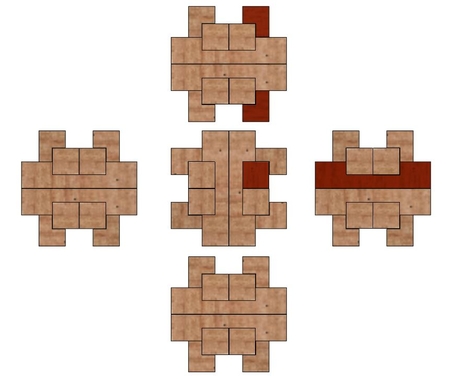
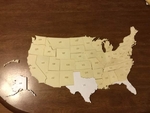
The 3D U.S. map is an excellent hands on tool for learning the states. After completing the map the student will be able to identify each state, their abbreviation, and their names.
Lesson Plan and Activity
Objectives:
The 3D U.S. map will help students identify each state for geography and social study lessons.
Custom Section
Project Name:
United States 3D learning map
Overview & Background:
The 3D U.S. map is an excellent hands on tool for learning the states. After completing the map the student will be able to identify each state, their abbreviation, and their names.
Objectives:
The 3D U.S. map will help students identify each state for geography and social study lessons.
Audiences:
The 3D U.S. map is designed for 1st through 6th grade students but I encourage all students that need help leaning states to us it.
Subjects:
Geography/ Social Studies
Skills Learned:
Students will learn each state by its shape and will be able to see the abbreviation of each state. Students will be expected to assemble the map, identify each state's name, and the location of the states.
Lessons/Activity:
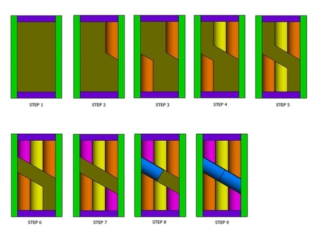
Step one: Print the states Step Two: File edges Step Three: Students will assemble the map Step Four: Students will identify each state's name
Duration:
Ideally each student should have their own map to assemble during the state geography lesson. One 45 minute lesson for all students to identify each state and assemble their maps with the instructor's guidance. One 45 minute lesson for the student to assemble and name each state by themselves.
Preparation:
Students should have had some exposure prior to working with their maps. I suggest two to three days of lesson of the states.
References:
http://nationalmap.gov/small_scale/printable/reference.html http://nationalmap.gov/small_scale/printable.html https://www.google.com/search?q=united+states+reference+map&espv=2&rlz=1C1KMZB_enUS509US509&tbm=isch&tbo=u&source=univ&sa=X&ved=0ahUKEwiS_rbBi4zNAhXBVz4KHRv1CF0QsAQILQ&biw=1600&bih=799
Rubric & Assessment:
Each student should know: Each state by shape: Location of each state: States names: State abbreviations
Designer
chrisx353d model description
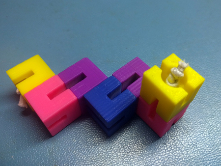
This project is a printable 3D U.S. Map. Inspiration for this project comes from the desire to help my two children succeed in their Geography and Soc...ial Studies classes. My children are in elementary school and are learning the states. This map has helped increase and fine-tuned their knowledge of the United States.3d model print parameters
Printer:QIDI Tech
Rafts:
Doesn't Matter
Supports:
No
Resolution:
.3
How I Designed This
Inspiration:
This project was inspired by m...y children's needs and ambitions for learning the United States.
Standards
NGSSCCSS
Overview and Background
Overview & Background:
The 3D U.S. map is an excellent hands on tool for learning the states. After completing the map the student will be able to identify each state, their abbreviation, and their names.
Lesson Plan and Activity
Objectives:
The 3D U.S. map will help students identify each state for geography and social study lessons.
Custom Section
Project Name:
United States 3D learning map
Overview & Background:
The 3D U.S. map is an excellent hands on tool for learning the states. After completing the map the student will be able to identify each state, their abbreviation, and their names.
Objectives:
The 3D U.S. map will help students identify each state for geography and social study lessons.
Audiences:
The 3D U.S. map is designed for 1st through 6th grade students but I encourage all students that need help leaning states to us it.
Subjects:
Geography/ Social Studies
Skills Learned:
Students will learn each state by its shape and will be able to see the abbreviation of each state. Students will be expected to assemble the map, identify each state's name, and the location of the states.
Lessons/Activity:
Step one: Print the states Step Two: File edges Step Three: Students will assemble the map Step Four: Students will identify each state's name
Duration:
Ideally each student should have their own map to assemble during the state geography lesson. One 45 minute lesson for all students to identify each state and assemble their maps with the instructor's guidance. One 45 minute lesson for the student to assemble and name each state by themselves.
Preparation:
Students should have had some exposure prior to working with their maps. I suggest two to three days of lesson of the states.
References:
http://nationalmap.gov/small_scale/printable/reference.html http://nationalmap.gov/small_scale/printable.html https://www.google.com/search?q=united+states+reference+map&espv=2&rlz=1C1KMZB_enUS509US509&tbm=isch&tbo=u&source=univ&sa=X&ved=0ahUKEwiS_rbBi4zNAhXBVz4KHRv1CF0QsAQILQ&biw=1600&bih=799
Rubric & Assessment:
Each student should know: Each state by shape: Location of each state: States names: State abbreviations