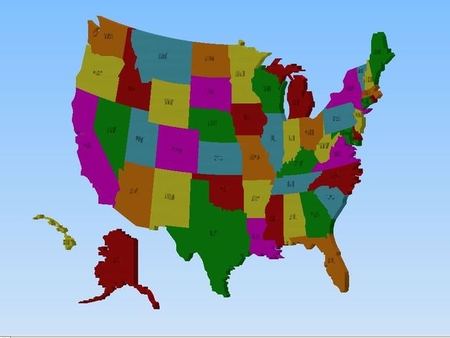
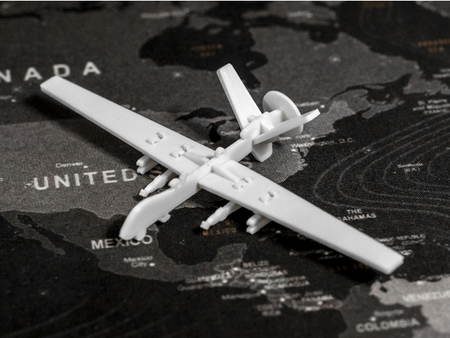
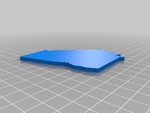
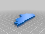
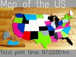
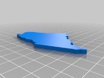
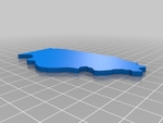
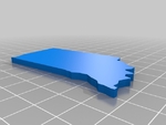
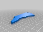
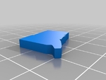
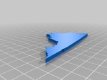
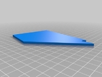
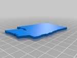
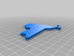
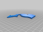
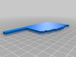
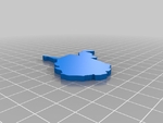
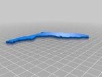
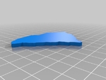
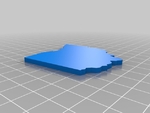
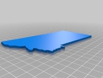
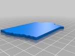
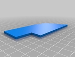
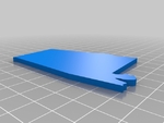
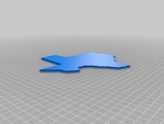
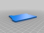
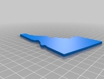
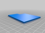
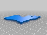
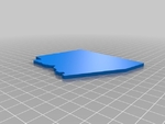
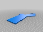
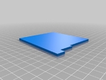
Map of usa states puzzle 3D for print


1070 Views 0 Likes 0 Downloads Download
Would be great for a learning tool for identifying state shapes and locations, or as a puzzle for kids.
The states are scaled to be pretty large. If you scale them down, make sure to use the same scale for every model.
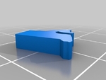
Massachusetts isn't scaled properly - sorry. I'll fix this eventually. I used a rough estimate of the appropriate dimensions to print the one for the map.
Doesn't Matter
Supports:
Doesn't Matter
How I Designed This
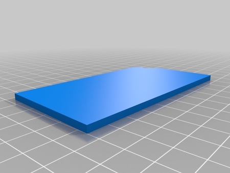
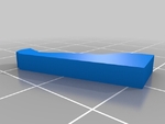
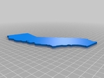
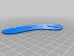
I borrowed the sketchup file from the creator, then singled out the states... and extruded them to a certain height (I think like 3mm) and exported to STL. Afterwards I loaded each state individually into 123D Design for scaling to the proper dimensions so everything would fit together seamlessly.
Designer
remyspencer3d model description
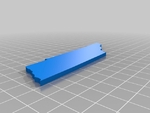
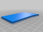
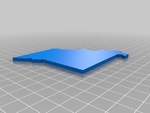
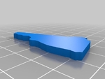
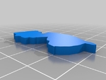
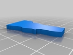
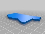
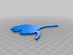
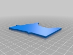
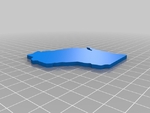
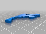
Multi-state map of the US. I looked around for just the plain, individual states scaled correctly to fit with one another, but couldn't find a thing t...hat had that. I borrowed the sketchup file from the creator to make this.Would be great for a learning tool for identifying state shapes and locations, or as a puzzle for kids.
The states are scaled to be pretty large. If you scale them down, make sure to use the same scale for every model.
Massachusetts isn't scaled properly - sorry. I'll fix this eventually. I used a rough estimate of the appropriate dimensions to print the one for the map.
3d model print parameters
Rafts:Doesn't Matter
Supports:
Doesn't Matter
How I Designed This
I borrowed the sketchup file from the creator, then singled out the states... and extruded them to a certain height (I think like 3mm) and exported to STL. Afterwards I loaded each state individually into 123D Design for scaling to the proper dimensions so everything would fit together seamlessly.